
Driving in Spain without paying tolls is possible on an increasing part of the highway network. Since several autopista concessions have expired, sections that were once toll roads have come under public management and have become free to access. For a French motorist crossing the border at La Jonquera, the difference is noticeable within the first kilometers on the AP-7: no more barriers, no more tickets.
Which roads are affected, how to identify them on a reliable map, and which navigation apps correctly utilize this data in 2026? Here are the concrete answers.
Read also : Discover the new free streaming platform: movies and series at your fingertips
Eurovignette Directive and the Future of Free Roads in Spain
Travel guides list free highways as if this status were guaranteed forever. The reality is more nuanced. The European Commission is urging Spain, under the revised Eurovignette directive, to replace free access with a distance-based pricing system linked to emissions. Experiments are expected on certain TEN-T corridors starting in 2026-2027.
In practical terms, this means that sections that are free today could become toll roads again, at least for heavy trucks, initially. Working documents from the Ministerio de Transportes mention scenarios where private cars would remain exempt while trucks would pay. Nothing is decided yet, but planning a road trip relying on the permanent free status of the AP-7 or AP-4 would be unwise.
Further reading : The best places to park for free near the Palace of Versailles
To keep track of these status changes and visualize the affected sections, consulting the map of free highways in Spain 2026 provides an up-to-date basis before each trip.
Autovías and Autopistas: Recognizing a Free Highway on the Ground
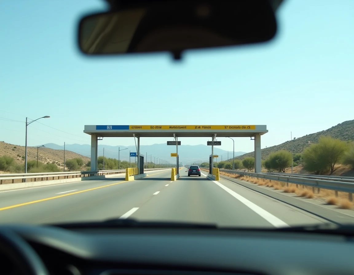
Have you noticed that Spanish highway signs sometimes display an “A” and sometimes an “AP”? This distinction is key. Autovías (prefix A) are public expressways, free by default. Toll autopistas (prefix AP) have historically been toll roads, managed by private concessionaires.
Since the concessions for several APs have expired, these sections have joined the free network without changing their names. The AP-7 along the Mediterranean coast is the most well-known example. The AP-4 between Seville and Cadiz is another. On the ground, signage has not always been updated: you might encounter an “AP” sign even though the toll no longer exists.
A simple rule of thumb: if you encounter neither a barrier nor a toll sign after a few kilometers, the section is free. In case of doubt, navigation apps indicate active tolls, which brings us to the choice of tool.
Google Maps and Waze to Avoid Tolls in Spain
The two most used apps manage Spanish highways differently. Understanding their particularities helps avoid unexpectedly finding yourself on a toll section.
Waze: Priority to Toll-Free Routes
Waze allows you to activate the “avoid tolls” option in the navigation settings. Once checked, the app systematically recalculates the route excluding toll sections. For a road trip in Spain, this is the setting to verify before crossing the border.
Another advantage of Waze lies in its community. Real-time reports (mobile radars, traffic jams, construction) are particularly useful on the former autopistas that have become free, where traffic has significantly increased since the end of the concessions.
Google Maps: Reliable but Less Responsive
Google Maps also offers the “avoid tolls” option in the route settings. The app correctly displays free sections and calculates alternatives without extra cost. However, real-time traffic data is less granular than on Waze for secondary Spanish roads.
Google Maps remains more readable for advance planning, especially when comparing multiple routes on a large screen before departure.
Which App to Choose Based on Your Use
- For real-time navigation with community alerts (radars, traffic jams), Waze is more responsive on the Spanish network
- For planning a trip the day before, comparing travel times, and visualizing stops, Google Maps offers a clearer interface
- For motorhomes and heavy vehicles, checking weight restrictions on certain sections (notably the AP-1) is essential, and neither app does this reliably: you need to cross-reference with data from the Spanish DGT
Traffic and Driving Quality on Sections That Have Become Free
The free access has a side effect that budget guides do not mention. Since the tolls were lifted, light vehicle traffic has increased by 40% on the former autopistas. Trucks that previously used national roads to avoid tolls have also shifted to these now free routes.
The result: accelerated pavement degradation and chronic traffic jams on the AP-7, especially during the summer period. For a motorist, this changes the game in terms of driving comfort and travel time.
Two reflexes can help limit inconveniences:
- Avoid departures on Saturday mornings in July-August on the AP-7 between Barcelona and Valencia, a time when traffic is densest
- Prefer lesser-known free sections (AP-4 Seville-Cadiz for example), where the influx remains moderate outside of holiday weekends
- Check real-time traffic conditions via Waze before committing, even switching to a parallel autovía if the free section is congested
Toll Badge or App: What You Need for Sections Still Charged
Not all Spanish highways are free. Some autopistas remain under active concession, and specific toll sections still exist, particularly around Madrid and in the Basque Country. For these portions, a toll badge compatible with the Spanish network simplifies passage through barriers.
Badges offered by operators like Ulys or Bip&Go work on Spanish toll highways. The alternative is to pay in cash or by credit card at the toll booths, but the queues during peak season make the badge more convenient. If your route combines free and paid sections, checking the badge’s compatibility before departure avoids unpleasant surprises at the barrier.
The Spanish highway network is undergoing significant transition. Between expiring concessions, European pressure for distance-based pricing, and increased traffic on free routes, the situation in 2026 will likely not be the same as in 2028. Keeping an updated app, checking maps before each trip, and not assuming free access is permanent remains the best approach for driving smoothly south of the Pyrenees.